

Construction Services
-
Topographic Mapping
Our high resolution cameras and LiDAR sensors capture topographic data of construction sites. We create terrain modelling, earthwork volume calculations, and cut and fill analysis.
-
Site Planning
Detailed aerial imagery and 3D mapping to identify potential challenges, optimize site layout, and develop more precise project plans. Our drones offer accurate positioning and alignment of layout blueprints.
-
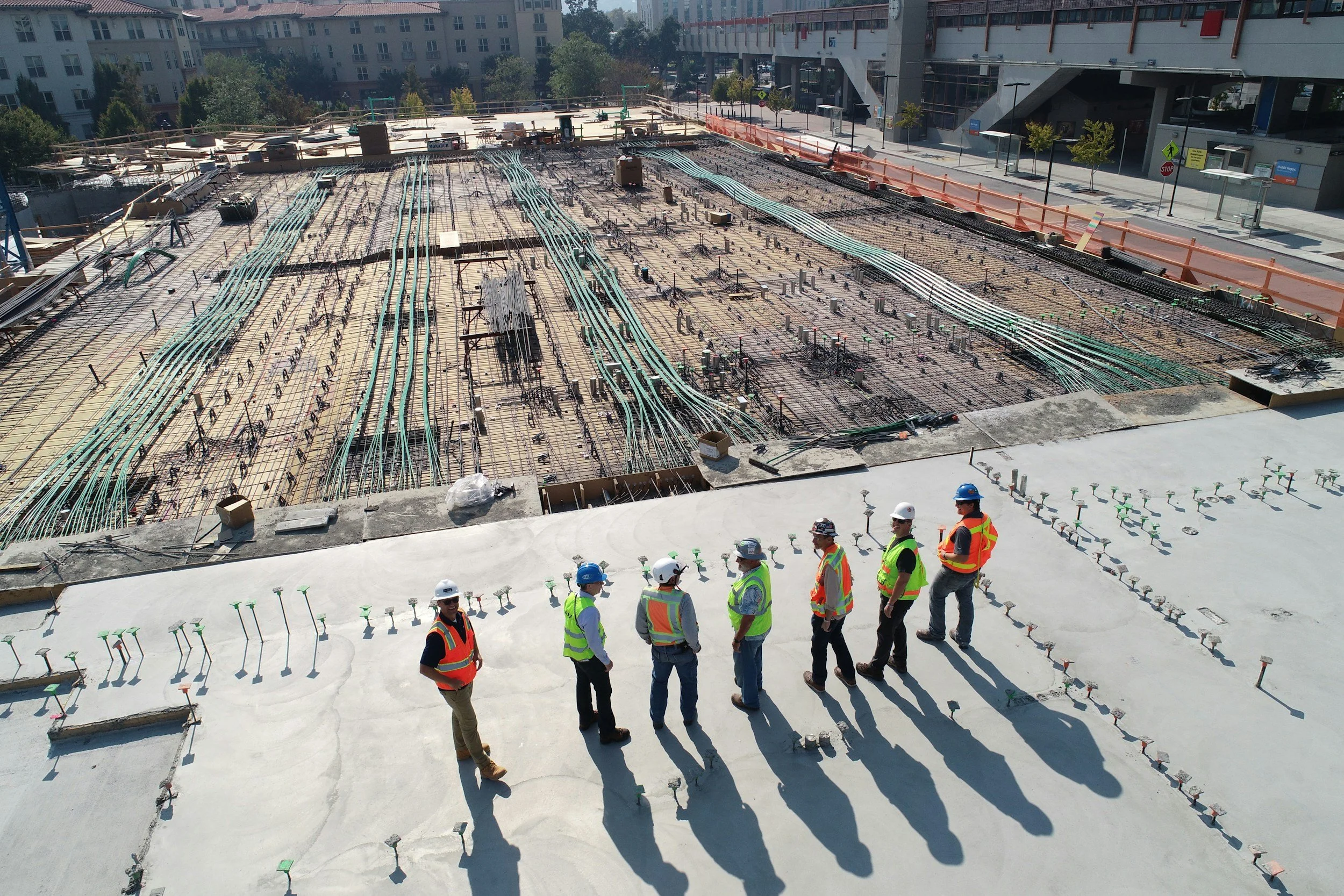
Progress and Quality Control
Identify defects and hazards more effectively than manual inspections, reducing the risk of errors and improving overall quality control. Offsite managers can identify any deviations from design.