

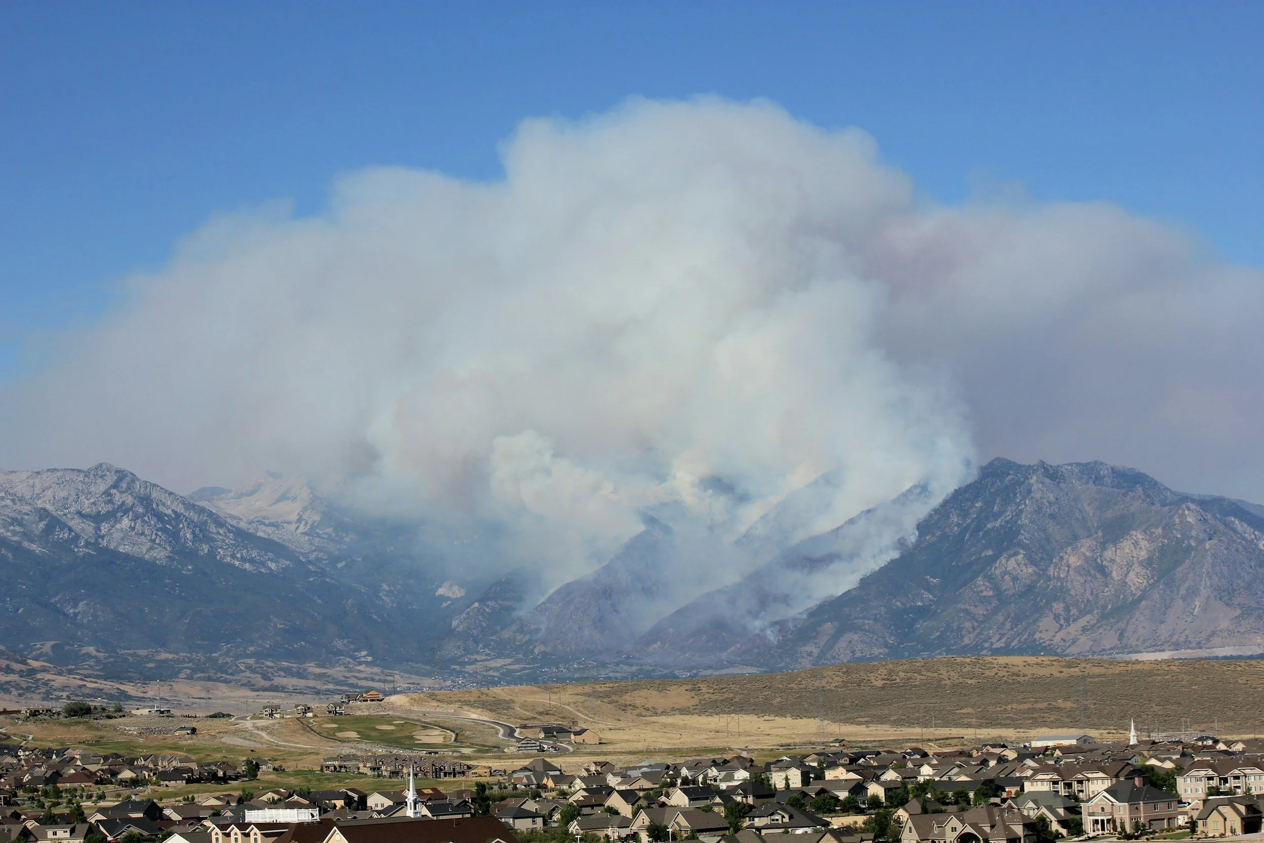
Wildfire Services
-
Firefighting Support
Identify active hotspots, track fire perimeters, assess terrain and access routes, and support crew safety day or night
-
Fire Mapping and Damage Assessment
Detailed maps of wildfire affected areas, including assessing the extent of damage to vegetation, infrastructure, and properties. We offer rapid post fire analysis and recovery planning.
-
Prevention
LiDAR + photogrammetry to identify dense fuels, ladder fuels, canopy density.
-
Rehabilitation
Identify erosion risks, drainage issues, and terrain instability following wildfires. Use our data to support rehabilitation planning and track site recovery over time.