

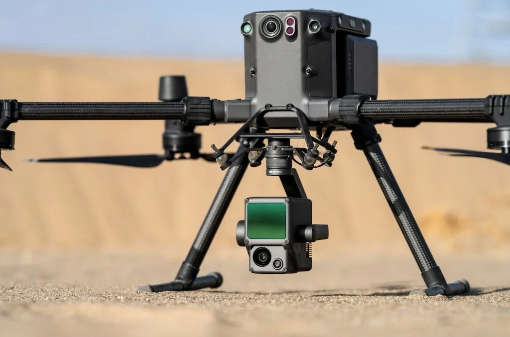
Our Drones
Our drones offer rapid coverage in any area. They provide accurate maps and models for diverse applications including forestry, construction, wildfire, mining and residential properties.
LiDAR
Light Detection and Ranging is a remote sensing method that uses light in the form of a pulsed laser to measure ranges to the Earth
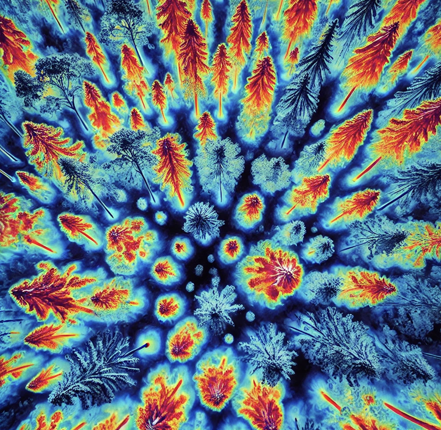
Thermal
Thermal cameras detect and measure heat emitted from the earth and convert it into visible images
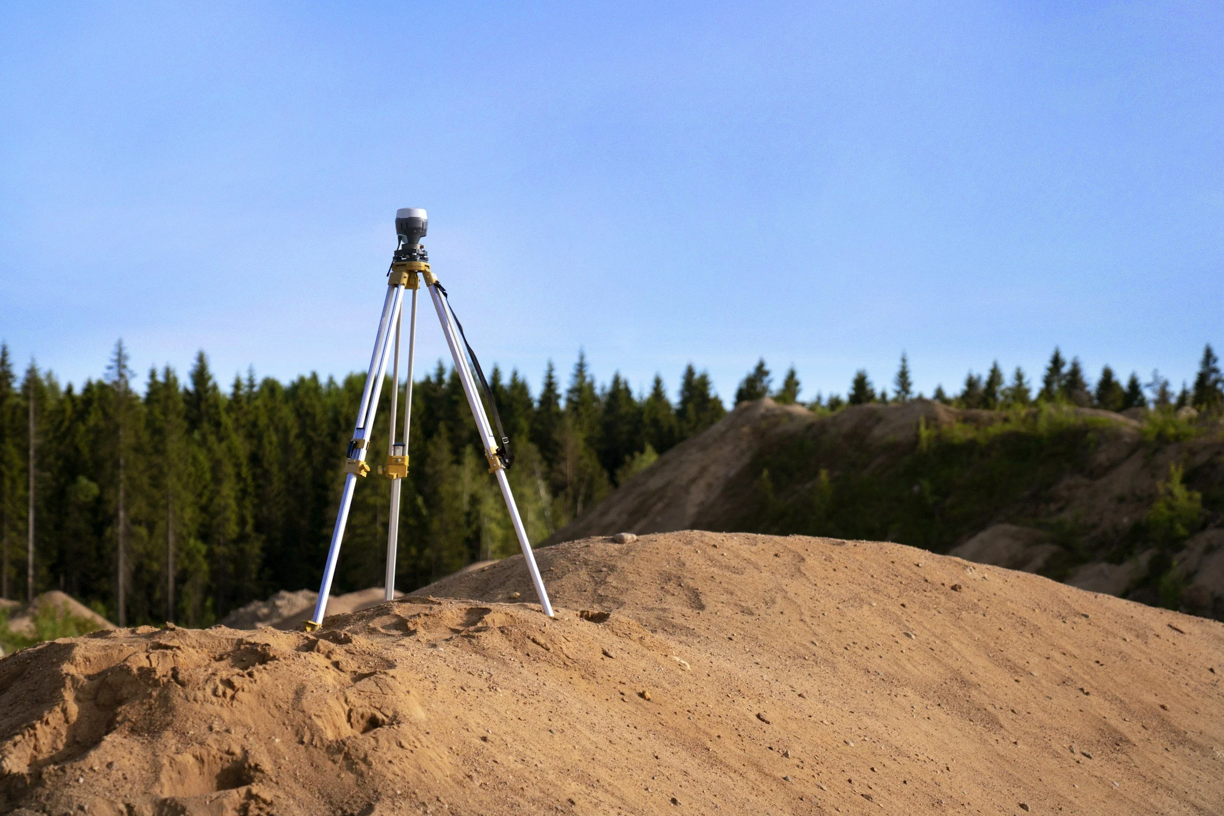
RTK
Real-Time Kinematic positioning is used to enhance the precision of drone data

Photogrammetry
High resolution photographs from the air used to create maps and 3D models